Houston’s evolution into a sprawling, car-centric metropolis is closely tied to the history and development of its freeway system. Designed to accommodate explosive population growth and economic expansion, Houston’s freeways have shaped the city’s identity, urban planning, and daily life. This story begins in the mid-20th century and reflects larger national trends of car dependence, suburbanization, and infrastructure development.
Early Infrastructure and the Birth of Houston’s Freeways
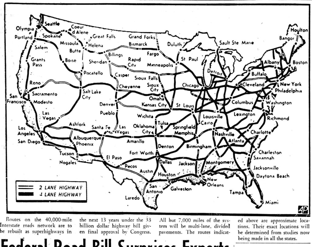
In the post-World War II era, Houston, like many American cities, began expanding rapidly. The introduction of the Federal-Aid Highway Act of 1956, which funded interstate highways, coincided with Houston’s population boom. The city’s layout favored horizontal expansion over vertical growth, with neighborhoods and commercial centers sprawling across a large geographical area.
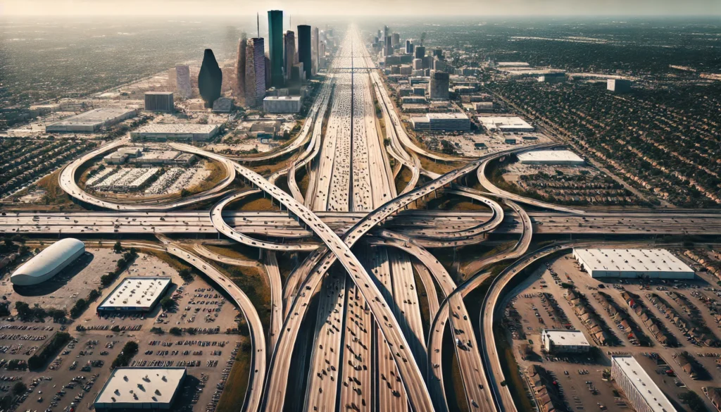
The construction of Interstate 45 (I-45), one of the earliest major freeways, marked the beginning of Houston’s ambitious freeway network. Designed to connect downtown Houston to Galveston, I-45 became a central artery, paving the way for additional freeways that would crisscross the city.
Expansion and Suburban Growth
As Houston’s economy flourished with the rise of the oil industry, the city attracted residents from across the country. Suburbanization intensified, with families seeking homes outside the urban core. Developers built suburban communities without relying on public transportation, reinforcing car dependency.
The construction of Beltway 8 and the 610 Loop reflected the city’s decentralized nature. These freeway loops enabled efficient travel around the metropolitan area, making it easier for residents to commute from suburbs into the city. Additionally, Houston became home to sprawling commercial centers, like the Galleria, which catered to car-dependent consumers.
Car Culture and Urban Challenges
The freeway system encouraged a car-centric lifestyle that became central to Houston’s identity. With minimal investment in public transportation, owning a vehicle became a necessity for most residents. Houston’s lack of zoning laws further promoted free development patterns, adding to the urban sprawl.
However, the emphasis on freeways introduced significant challenges, such as traffic congestion and environmental concerns. Freeway expansion projects often displaced existing communities, particularly low-income and minority neighborhoods, raising questions about equity in urban development. Neighborhoods like Fourth Ward and parts of East Houston were particularly impacted by freeway construction, forever altering their landscapes.
Modern Efforts: Freeway Expansion and Sustainability
Today, Houston’s freeway network continues to evolve, with expansion projects aimed at easing congestion. The Katy Freeway (I-10), now one of the widest freeways in the world with more than 20 lanes, exemplifies the city’s commitment to accommodating vehicular traffic. However, this expansion has not eliminated traffic issues, and long commutes remain a daily reality for many residents.
Houston is beginning to explore sustainable urban solutions, balancing car infrastructure with new initiatives in public transportation and pedestrian-friendly spaces. Projects such as the expansion of the METRORail light rail system and investments in bike lanes reflect the city’s gradual shift toward offering alternatives to driving. Nevertheless, the city remains heavily dependent on its freeways.
The Legacy of Houston’s Freeways
Houston’s freeway system is both a symbol of progress and a reminder of the city’s complex urban challenges. While it has enabled economic growth and connected communities, it has also contributed to urban sprawl, environmental degradation, and social displacement. As Houston continues to grow, finding ways to balance car-centric infrastructure with sustainable development will be crucial to the city’s future.